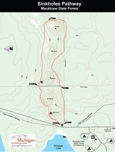
Sinkholes Pathway

Buy the $.99 downloadable map!
(This map is not geo-referenced)Trail Details
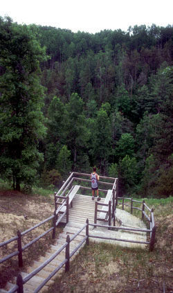
A karst is a geologist's term for a limestone region where underground streams dissolved the rock into a series of large circular caves. These caverns eventually collapse under the overwhelming load of sand, rock and clay left by the last glacier 10,000 year ago and the result is deep conical depressions throughout the forest called sinkholes.
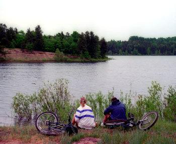
The Sinkhole Area includes the Sinkholes Pathway as well as a portion of the High Country Pathway, three lakes and four rustic state forest campgrounds. In other words there are numerous opportunities in this recreational playground to hike, mountain bike, swim or cast a lure for northern pike and smallmouth bass.
Sinkholes Pathway is a 2-mile loop around five sinkholes with a crossover spur that allows you to shorten the route to 0.75 miles. To extend the mileage, especially if you’re a mountain biker, begin with a portion High Country Pathway, an 80-mile trail system spans four counties; Presque Isle, Cheboygan, Otsego and Montmorency. From Tomahawk Lake Campground, High Country Pathway heads north and within a mile reaches the trailhead of Sinkholes Pathway, turning the pathway into a round-trip outing of 4 miles.
| Camping |
| Difficulty - Easy |
| Dog Friendly |
| Multi-use Trail |
Geo-referenced maps from MichiganTrailMaps.com range from $1.99 to $2.99 each.
Download the Avenza app from the App Store or Google Play