
Leelanau Trail
Buy the $.99 downloadable map!
(This map is not geo-referenced)Buy the Geo-referenced map
for use in the Avenza Maps App
Trail Details
Geo-referenced maps from MichiganTrailMaps.com are available through Avenza Maps and range from $1.99 to $2.99 each.
Download the Avenza app from the App Store or Google Play


But LTA volunteers forged ahead and by 1997 had paved more than four miles of the trail at its north and south ends and established a large trailhead on Cherry Bend Road. The following year, TART Trails, Inc. was formed and took over the administration of several regional trails, including the Leelanau.
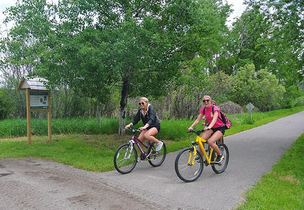
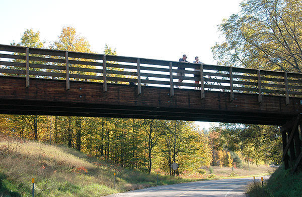
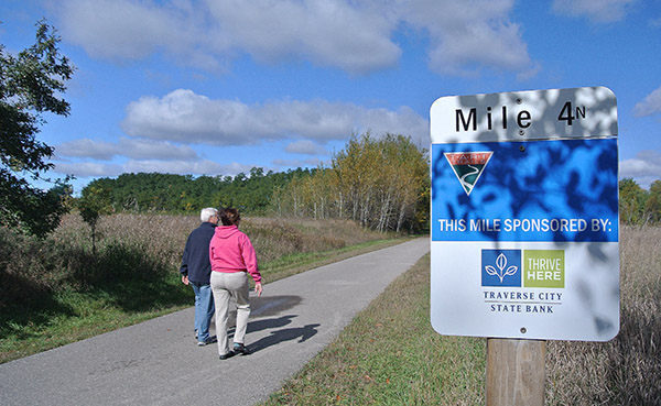
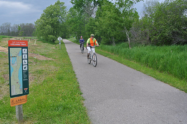
In 2004, the Leelanau Trail was connected to the TART Trail that extends 11 miles to the east through the heart of Traverse City. By 2014, when the Leelanau Trail had become a fully paved, off-road connection between Traverse City and Suttons Bay, winding past picturesque farms and vineyards, forests, lakes and ponds, there was no denying its overwhelming popularity.
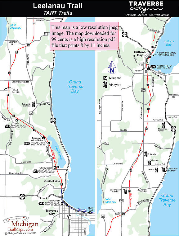
The Leelanau Trail officially extends from Carter Road in the Greilickville area of Traverse City to Dumas Road on the north side of Suttons Bay. For many, the trail is a 14-mile ride from the Cherry Bend Trailhead to the trailhead at First and Cedar Streets in Suttons Bay, where riders can park their bikes and walk to almost a dozen restaurants and cafes. After refueling and reviving, it’s a ride of less than a half mile to the BATA stop for the bus back to Traverse City.
| Difficulty - Moderate |
| Dog Friendly |
| Groomed Classic Skiing |
| Groomed Skate Skiing |
| Paved Trail |
Geo-referenced maps from MichiganTrailMaps.com range from $1.99 to $2.99 each.
Download the Avenza app from the App Store or Google Play
